Meyer Surveying Embraces the Future of Geospatial with CSDS, Trimble, and Aerial LiDAR
Client:
Randy Meyer, Owner
Company:
Meyer Surveying
Industry:
Land Surveying, Geospatial Engineering, Utilities, Remote Sensing
CSDS Value Delivered:
Enabled Meyer Surveying to expand into high-efficiency drone LiDAR services with expert training, tailored consultation, and a fully integrated Trimble workflow.
Project Overview
Randy Meyer of Meyer Surveying set out to expand beyond traditional surveying into geospatial data services – specifically drone LiDAR and modeling for stream restoration, infrastructure, and large-scale development projects. His goal: improve efficiency, deliver accurate models, and open the door to higher-value opportunities.
Faced with outdated methods and increasing demand for complex deliverables, Randy knew it was time to evolve.
Why CSDS?
“At the end of the day, CSDS earned my trust and confidence through expert guidance, product knowledge, and professional support,” said Meyer. “Brett and the CSDS team brought real-world understanding to my goals and helped tailor a solution that fit my business.”
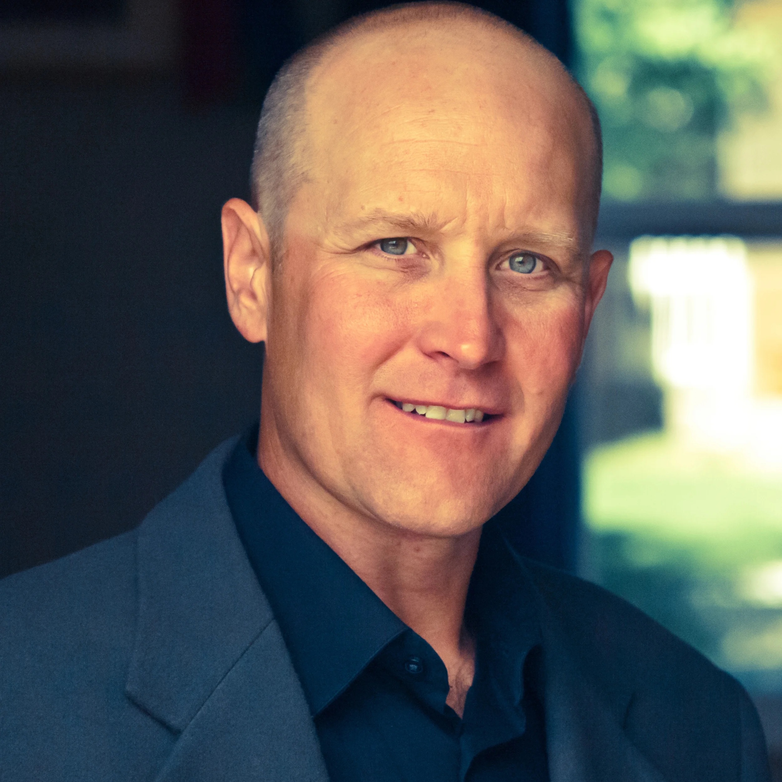
John "Randy" Meyer, PLS
Owner & Principal Surveyor Meyer Surveying
CSDS provided hands-on discovery, consultation, and training—empowering Randy to deploy drone-based LiDAR and a full Trimble processing workflow.
Solutions Deployed
-
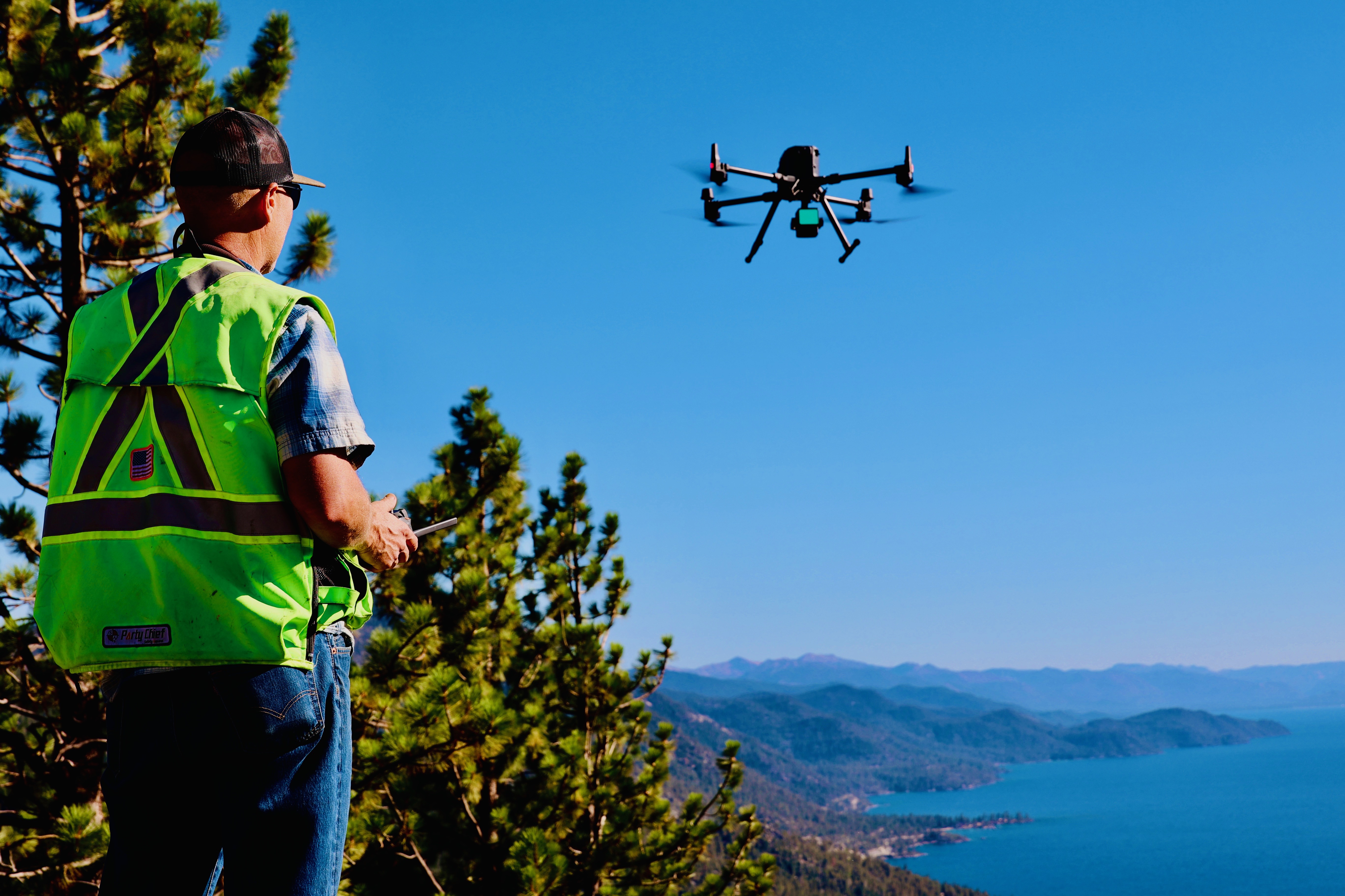
Aerial Drone with LiDAR Sensor
Fast, accurate terrain capture even in vegetated areas -
Trimble Business Center (TBC)
End-to-end data processing, QC, reporting, and modeling -
Trimble Access + GNSS
Field control and layout -
Trimble Sync Manager + Trimble Connect
Seamless office-to-field data management -
SX12 Terrestrial Scanner
High-resolution scanning of tight, complex environments -
CSDS Professional Services + Training
Personalized onboarding and consulting
Implementation & Results
Meyer went from traditional field methods to flying and processing full 50-acre to 1,200-acre topographic surveys in days, not weeks. One large project alone – captured via drone and processed using TBC – earned tens of thousands in revenue, effectively covering his entire investment in technology and training.
“The system paid for itself on the first large job. I’m seeing several times ROI already – and that’s with me turning away even more work just to catch up.”
Impact on Workflow
-
Faster Project Turnaround
50-acre sites captured in under an hour -
Scalability
Single-operator capture and deliverables for large acreage -
Safety
Executing work in complex terrain and hazardous sites more safely and efficiently -
Accuracy & QC
TBC’s coordinate handling, RTX/OPUS integration, and deliverables give clients confidence -
New Revenue Streams
Projects now include geospatial modeling, stream restoration, canopy/fire mapping, and bathymetric work
“I just processed a data set for a pond repair in Napa that picked up a landslide in an inaccessible area—there’s no way we could have mapped that safely without this tech.”
Training Experience
From flight to processing workflows in TBC, CSDS equipped Meyer Surveying to succeed from day one. With access to advanced solutions and a knowledgeable team ready to provide guidance, Meyer Surveying was supported at every stage. Brandon Thomson, one of CSDS’s leads in Professional Services, lent his expertise and time to ensure every question was answered, helping the company put the technology to work in the most effective way for their business.
“Brandon Thompson’s training was absolutely essential. In three days, I had the knowledge and confidence to take off. Without that, I wouldn’t be where I am with this project,” according to Randy.
The CSDS Difference
Randy credits CSDS for:
- A complete technology stack tailored to his goals
- Fast, informed answers to technical questions
- A responsive team with surveying experience
- Ongoing access to rentals, support, and updates
“I tell clients all the time – I’ve got the best geospatial team on the West Coast behind me. CSDS is my partner in all of this.”
Where the Industry Is Going
According to Randy, the future of land surveying lies in:
- Geospatial modeling
- Reality capture workflows
- Partnering with adjacent industries
- Remote sensing and data consulting
“Surveyors who embrace technology and evolve from ‘field crew’ to ‘data experts’ will thrive. With CSDS and Trimble, I’m not just surviving – I’m leading.”
Get the Complete Story from Meyer Surveying at Trimble Dimensions
Randy Meyer and CSDS’s Brett Clarke will be presenting this journey live at Trimble Dimensions 2025. Don’t miss the session that’s reshaping how small firms scale up, embrace innovation, and lead the geospatial revolution.