
Real-Time Reliability:
NCE’s Successful Storm Drain Inventories with CSDS GNSS Support
The Project
Storm drain field verification and asset inventories for two Bay Area municipalities—capturing thousands of assets with the precision needed for operations and maintenance, as well as capital improvement planning.
Challenge
Capture high-accuracy, real-time GNSS data in Esri Field Maps and ArcGIS Online, even in urban and vegetated areas, while meeting added subsurface measurement requirements and avoiding delays from third-party support.
Solutions
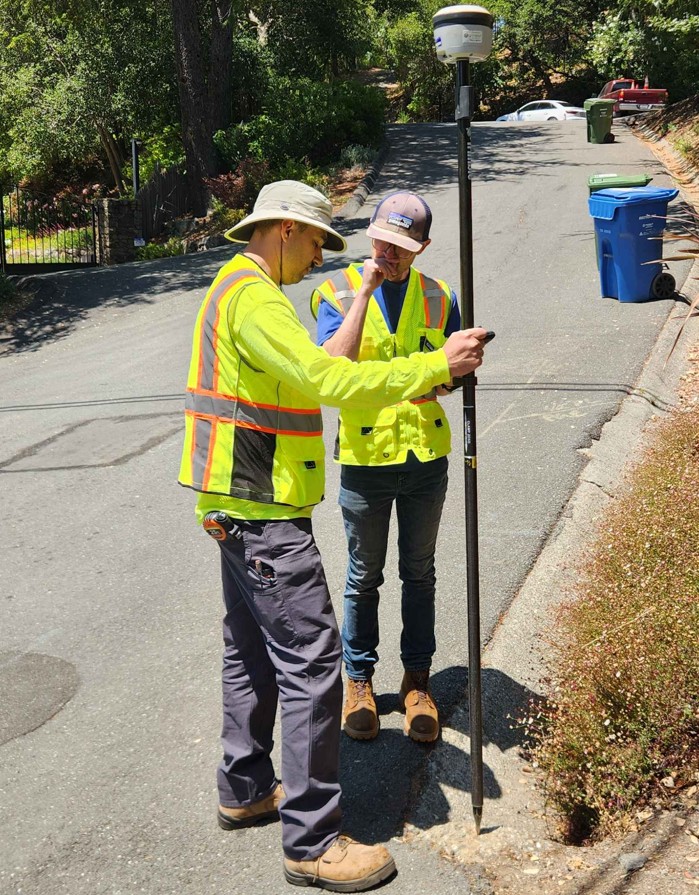
Trimble R2 GNSS units with CSDS Real-Time Network (RTN), configured via Trimble Mobile Manager for seamless Esri Field Maps integration. The workflow was supported by CSDS, involving setup, training, and multiple rounds of testing and data validation.
Outcome
4-inch horizontal accuracy (validated by third-party consultants), faster deployment, streamlined workflows, reduced post-processing, and improved confidence in the data—backed by CSDS as a long-term technical partner.
Background
NCE is a multidisciplinary civil engineering and environmental firm based in Northern California. With expertise across water resources, asset management, civil infrastructure, environmental services, and GIS, the firm delivers data-driven insights to support sustainable infrastructure planning.
The Project
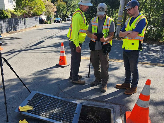
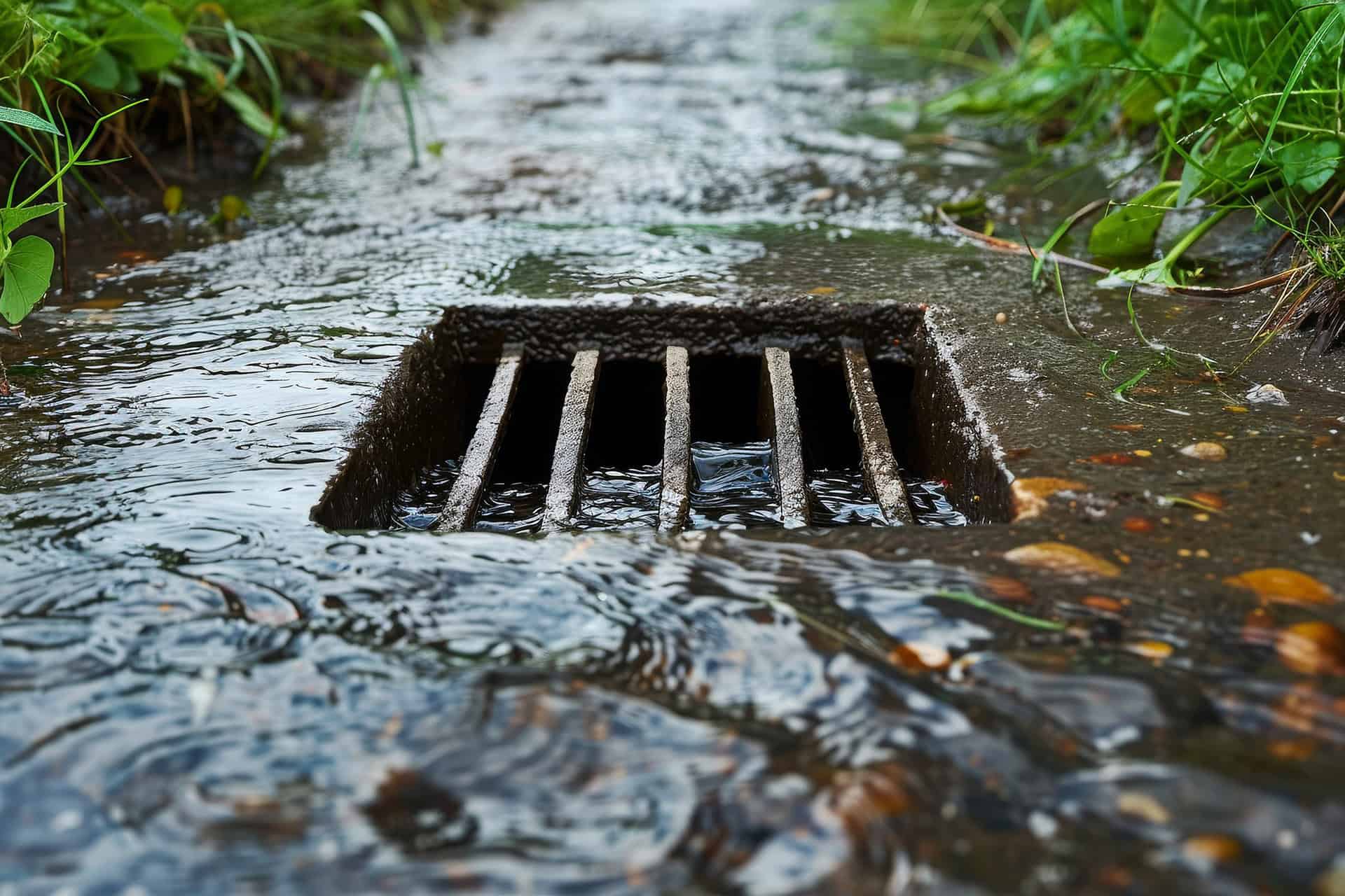
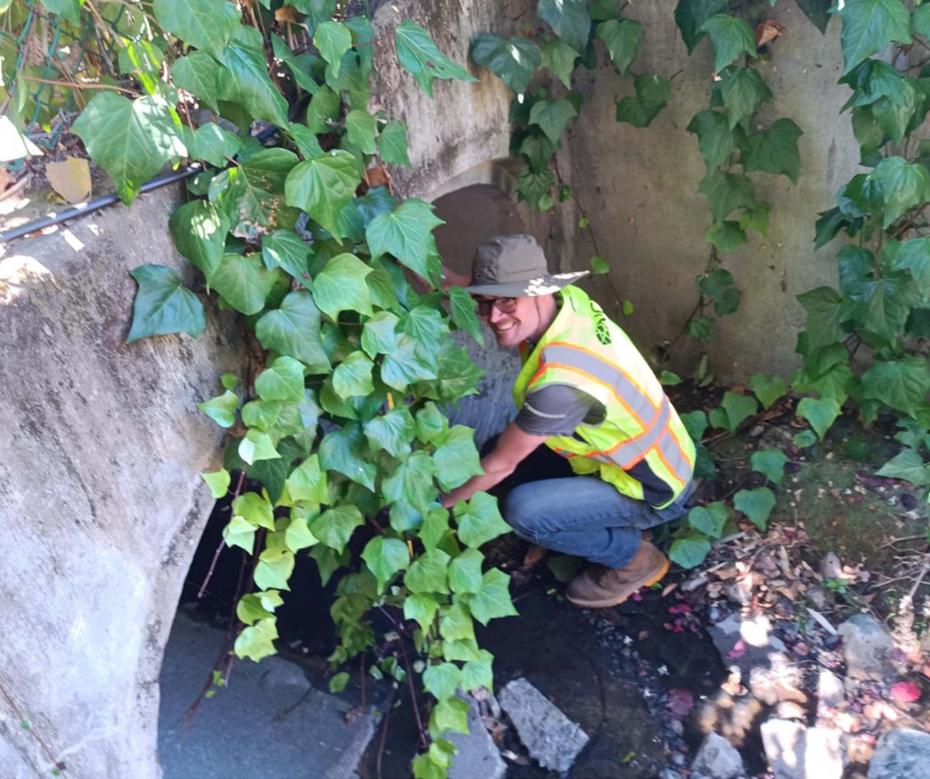
NCE was tasked with performing field verification and detailed storm drain inventories for two Bay Area municipalities in California. These inventories aimed to locate and assess thousands of assets—such as manholes, culverts, catch basins, and underground piping—with uncompromising precision and completeness to inform future capital improvement planning.
The Challenge
While the storm drain data sets contained basic information, much of it lacked attribution and had never been field-verified. The second project required even greater precision, including subsurface measurements such as pipe size and condition—necessitating reliable real-time GNSS data, even in challenging field conditions such as treed environments.
Compounding the technical complexity was the need to collect and transmit data in real-time using Esri Field Maps and ArcGIS Online. NCE needed a GPS solution that integrated seamlessly with their GIS workflows—and a provider who could offer responsive support when things got complicated.
The Solution: Integrating Trimble Technology with CSDS RTN and Professional Assistance
NCE began their first project using Trimble Catalyst, supported by CSDS. The experience was positive—Catalyst offered reliable accuracy and integrated reasonably well with Esri workflows. But when questions or issues arose, resolution was slow due to the need to loop in third-party support.
As the second project approached, NCE evaluated options and—after hands-on testing—made the switch to the CSDS Real-Time Network (RTN). With guidance from CSDS experts like Brett Clarke, Robert Manor, and Brandon Hood, NCE deployed Trimble R2 GNSS units connected to CSDS RTN and configured through Trimble Mobile Manager to work directly with Esri Field Maps.
The CSDS team provided:
- Trial RTN credentials and side-by-side test comparisons
- Field and remote support for GNSS + Esri setup
- Subscription management and training
- Pre-project configuration and data validation
The Result
NCE was able to collect and transmit high-accuracy storm drain data in real-time, even in urban and heavily vegetated areas. Switching to CSDS RTN resulted in:
- 4-inch horizontal accuracy, even using older R2 units
- Faster deployment of the second project, thanks to lessons learned
- Improved confidence in the data, with validation from third-party GIS consultants
- Streamlined GIS workflows, reducing post-processing time
The second project, still ongoing at the time of writing, has already benefited from a more efficient setup, stronger GNSS performance, and continuous support.

“The data has been quality controlled by a third-party consultant—and they’re very pleased with the accuracy! That validation speaks volumes. It wouldn’t have happened without the support from CSDS and the solutions we implemented together.”
Jeremy Hall
GIS Administrator at NCE
Lessons Learned
To ensure success, NCE conducted extensive pre-project testing using public survey monument data, verifying their GNSS setup with real-world coordinates. This validation process, coupled with direct collaboration with CSDS, helped establish confidence in the RTN configuration before full deployment.
“We did a side-by-side comparison with Trimble Catalyst and CSDS RTN,” Hall explained. “The point clustering with RTN was much tighter, and the reported accuracy was better. That made the decision easy.”
What’s Next?
With two successful storm drain inventory projects underway, NCE is now well-positioned to leverage CSDS RTN on future infrastructure and asset management projects. The company continues to refine their GNSS/GIS integration process and values the role of CSDS as a technical partner.
“We now have a configuration recipe that works—and CSDS has been there every step of the way,” Hall noted.
ACKNOWLEDGMENTS:
NCE is a highly client-focused consulting engineering, planning, and environmental firm specializing in the innovative and creative design of infrastructure projects, primarily servicing the public sector with locations in California, Nevada, and Arizona. Read about their services at ncenet.com.
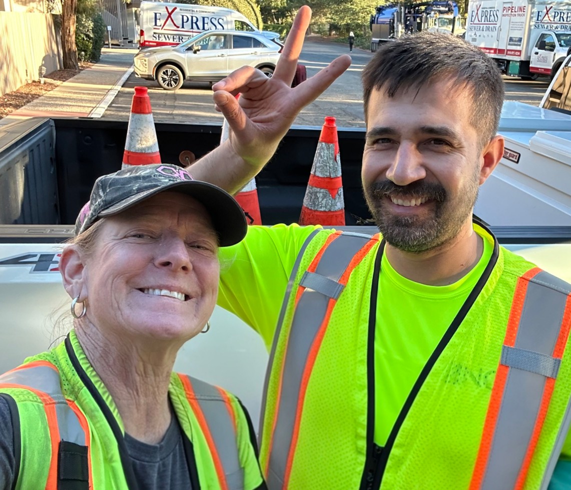
Special thanks to Jeremy Hall, GIS Administrator at NCE, and to crew leads Anna Henke and Joel Acosta for their work on these storm drain projects.
The CSDS Real-Time Network (RTN) delivers reliable GNSS coverage across 105,000 square miles of California, powered by over 60 monitored reference stations for unmatched accuracy and availability. Discover California's largest and most trusted RTN→
CSDS creates success stories to proudly showcase the achievements of our customers who have trusted us as their partner and relied on our expertise to provide the best, most advanced solutions for the job.