
Wingtra LIDAR RAY Hardware Payload (Requires Mandatory LIDAR-PPK-OS-APPS)
Wingtra LIDAR RAY Hardware Payload (Requires Mandatory LIDAR-PPK-OS-APPS)
Description
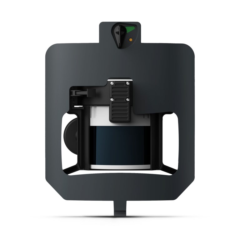
Wingtra LIDAR RAY Payload
The Wingtra LIDAR RAY turns the WingtraRAY drone into a high-performance aerial LiDAR mapping system, capable of capturing dense 3D point clouds even in vegetated or complex terrain. Combining a rotating LiDAR sensor with a tactical-grade IMU and PPK GNSS positioning, the LiDAR RAY supports terrain modeling, canopy penetration, and detailed structure mapping with vertical accuracy down to ~3 cm RMS.
With high return densities (up to 660 pts/m² under ideal conditions) and large-area coverage per flight, this payload excels in applications where detailed ground surface models are needed beyond what photogrammetry can reliably deliver — such as forestry, flood risk analysis, corridor surveys, and infrastructure site models.
Key Features
- Advanced aerial LiDAR sensor with tactical-grade IMU and PPK GNSS
- Dense 3D point clouds with high return density
- Vegetation penetration and accurate terrain modeling
- LAS/LAZ outputs ready for CAD/GIS integration
- Seamless workflow support via Wingtra LiDAR App
Ideal For
Surveying, environmental assessment, corridor design, mining, and advanced terrain modeling where LiDAR point clouds provide critical detail not achievable with photogrammetry alone.
Documents
Specifications
- BrandWingtra
- Product TypeDrone Payload
- Absolute Accuracy (RMS x, y, z) with PPK3 cm
- Lowest Possible GSD1.2 cm/px at 54 m altitude
- Maximum Coverage at 120 m380 ha
- Maximum Coverage at 90 m460 ha
- Payload TypeLiDAR Mapping and Photogrammetry
- SensorHesai XT32M2X Laser Scanner
- Weight1030 g