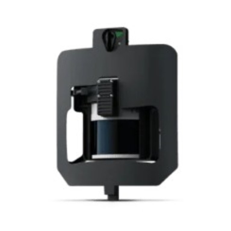
Capture detailed elevation data even through dense vegetation for advanced terrain modeling and topographical analysis with Wingtra's LIDAR sensor – a high-performance aerial scanning solution within a streamlined surveying workflow. With point densities of up to 200 points/m², it excels in mining, construction, urban planning, and environmental monitoring.
Description
Capture detailed elevation data even through dense vegetation for advanced terrain modeling and topographical analysis with Wingtra's LIDAR sensor – a high-performance aerial scanning solution within a streamlined surveying workflow. With point densities of up to 200 points/m², it excels in mining, construction, urban planning, and environmental monitoring.
Documents
There are no documents available.
Specifications
- BrandWingtra
- Product TypeDrone Payload
- Absolute Accuracy (RMS x, y, z) with PPK3 cm
- Lowest Possible GSD1.2 cm/px at 54 m altitude
- Maximum Coverage at 120 m380 ha
- Maximum Coverage at 90 m460 ha
- Payload TypeLiDAR Mapping and Photogrammetry
- SensorHesai XT32M2X Laser Scanner
- Weight1030 g

