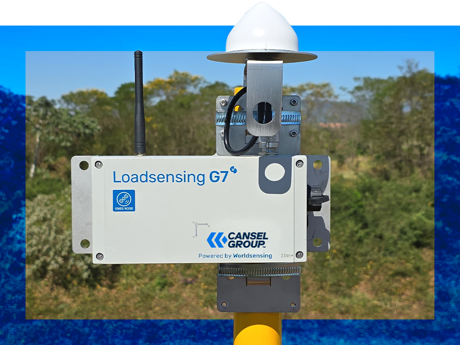
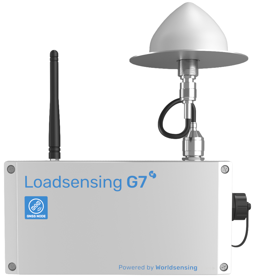
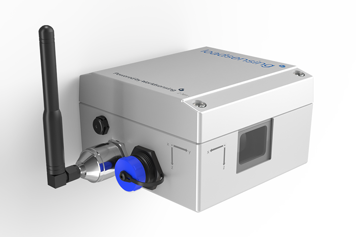
Worldsensing GNSS Meter Wireless Sensor
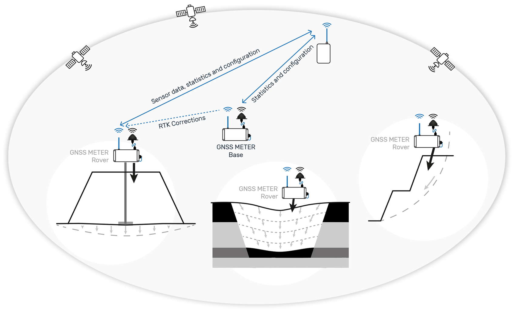
Worldsensing’s GNSS Meter is a wireless sensor that enables precise automated measurement of surface point movements. It features advanced multi-band Real-Time Kinematic (RTK) technology and innovative edge processing that delivers millimetric precision with great reliability.
The GNSS Meter leverages Worldsensing’s field-proven Loadsensing technology, which ensures long-range radio connectivity without dependence on internet or cellular networks.
Designed for scalability and robustness, the GNSS Meter integrates seamlessly with the rest of the Loadsensing portfolio that stream data from other geotechnical sensors such as piezometers, inclinometers, and extensometers, allowing comprehensive, automated monitoring.
Millimetric precision
Achieves sub-centimeter precision (down to 2mm) with hourly position updates, offering two aggregation levels: 6h and 24h.
Flexible configuration options
Can function as a base or rover, with field tools for radio link testing.
Advanced edge data-processing
Position quality and system performance statistics are transmitted via radio and available in CMT.
Wireless, autonomous, low-power
Battery-powered with D-size batteries, providing over 3 years of autonomy.
Integrated tiltmeter and environmental sensors
Measures vertical shifts in structures and provides data when RTK conditions are unavailable.
Report displacement
Calculate vertical, and horizontal (E/W, N/S, absolute) displacements from the initial position within CMT.
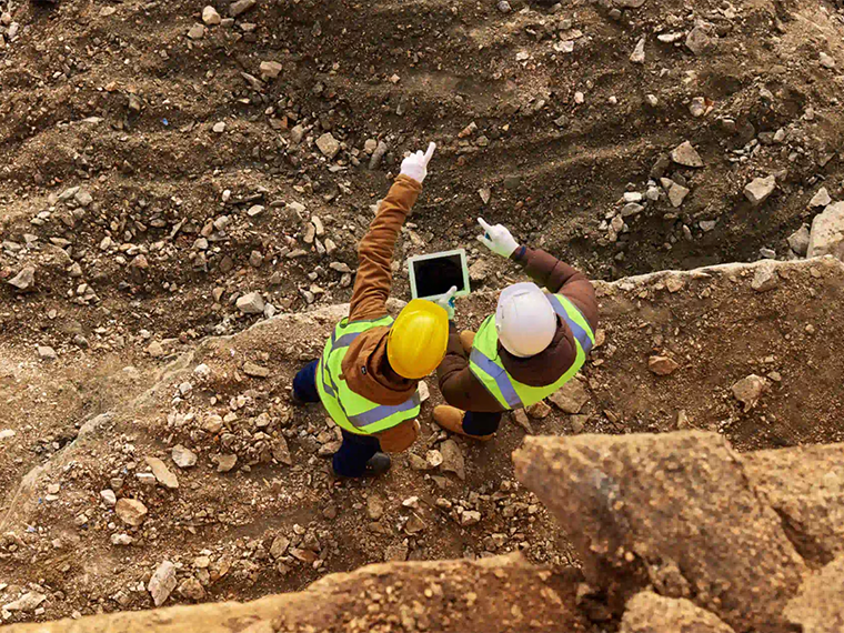
Main Applications
The GNSS Meter is designed for cross-industry applications, offering millimetric precision in areas such as slope stability, settlement, and subsidence monitoring. It is ideal for dense point monitoring or as a complement to inground sensors like inclinometers and extensometers, as well as geospatial techniques like satellite InSAR, ground-based radar, and total stations, enhancing overall data reliability and robustness.
Subsidence & Heave
- Coastal subsidence
- Mining and underground excavations Mine closures
- Swelling rocks and expansive soils
- Points of control for satellite lnSAR, ground-based radar, total stations, and other geospatial monitoring techniques
Slope Stability
- Areas and assets affected by landslides
- Open pits and slope stability
- Surface points of control for in-place inclinometer strings, extensometers, and settlement systems
Settlement
- Embankments, soil consolidation, and land reclamation projects
- Bridge abutments settlement Foundations settlement
Sensor type
GNSS
Secondary sensor
Tiltmeter
Environmental sensor
Integrated temperature and humidity sensor
Power source
4 x 3,6 V D-size user-replaceable, high energy density batteries
Reporting period
1 h
Communications
LoRa radio (ISM sub GHz)
Geotechnical Solutions
Geotechnical instrumentation refers to all the different sorts of instruments that are used to monitor the earth and environment (e.g. soil moisture, temperature, water level), structures on it and beneath it (e.g cracks, pressure, tilt).
Other Geotechnical Solutions
WorldSensing Loadsensing LS-G6 Laser - Distance and Tilt Node
A wireless sensor designed for continuous tilt and structural movement monitoring in geotechnical and infrastructure applications.

WorldSensing Gateway 915 MHz 4G Module and Internal 2.6 dBi Antenna
A rugged outdoor gateway designed to connect wireless monitoring sensors across large project sites.
Still have questions?