Adopt Tier - Core SOLUTIONS
Technology Quick Start Training
Practical, discipline-focused guidance designed to jumpstart user confidence and technology adoption.
Overview
Build foundational expertise through role-based training across key geospatial disciplines, including Survey, Scanning, UAV, Subsurface, Hydrography, CAD, BIM, GIS, and more—preparing learners to execute real-world workflows and adapt to emerging technologies with confidence.
Features
- Hands-On Structured Training - Accelerate technology adoption and build user confidence across core geospatial hardware and software systems.
- Role-Based Instruction - Deliver focused training to specific roles, helping teams quickly apply what they learn.
- Ready-to-Use from Day One - Enable teams to use equipment and software effectively without the need for customization or system configuration.
Get started today
Connect with an expert on additional program details and curriculum.
What Your Team Gains
Role-Based Training Paths
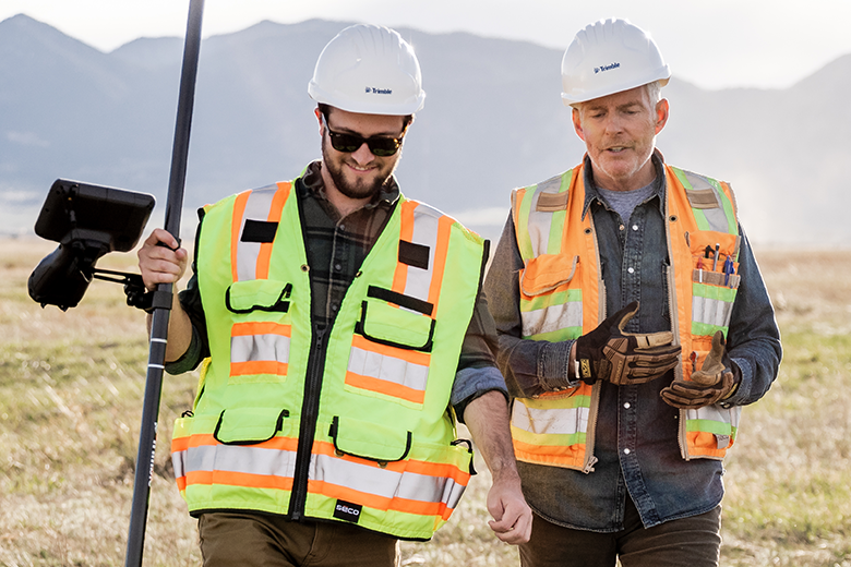
Focused modules in Survey, Scanning, UAV, CAD/BIM, Subsurface, Hydrography, and related workflows- designed to support real-world task execution and project delivery.
Hardware Setup & Familiarization
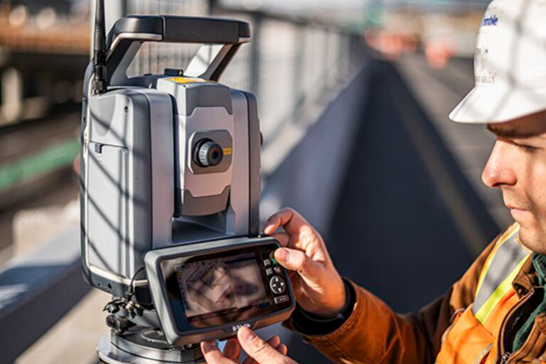
Guided hands-on instruction with Trimble GNSS receivers, laser scanners, UAV platforms, and field controllers (TSC5, TSC7, T10x).
Software Workflow Training
Practical field-to-finish workflows in Trimble Business Center (TBC), Trimble Access, DJI Terra, Autodesk Civil 3D, and Esri ArcGIS.
Workflow Orientation
Instruction on standardized field-to-office data flow, QA/QC best practices, and deliverable preparation.
Knowledge Reinforcement
Ongoing access to our Can-Learn library for self-paced review, reinforcement, and progress tracking.
Technologies we cover
Trimble Business Center (TBC)
Trimble Robotics with Trimble Access
Trimble GNSS with Trimble Access
Trimble Scanning with Trimble Perspective
DJI UAV Systems and DJI Terra
NavVis Systems and IVION
Trimble Mapping with Trimble TerraFlex
Seafloor Hydrographic Survey Solutions
Subsurface Utility Locating (Radiodetection and GPR)