


DJI Matrice 400 (M400)
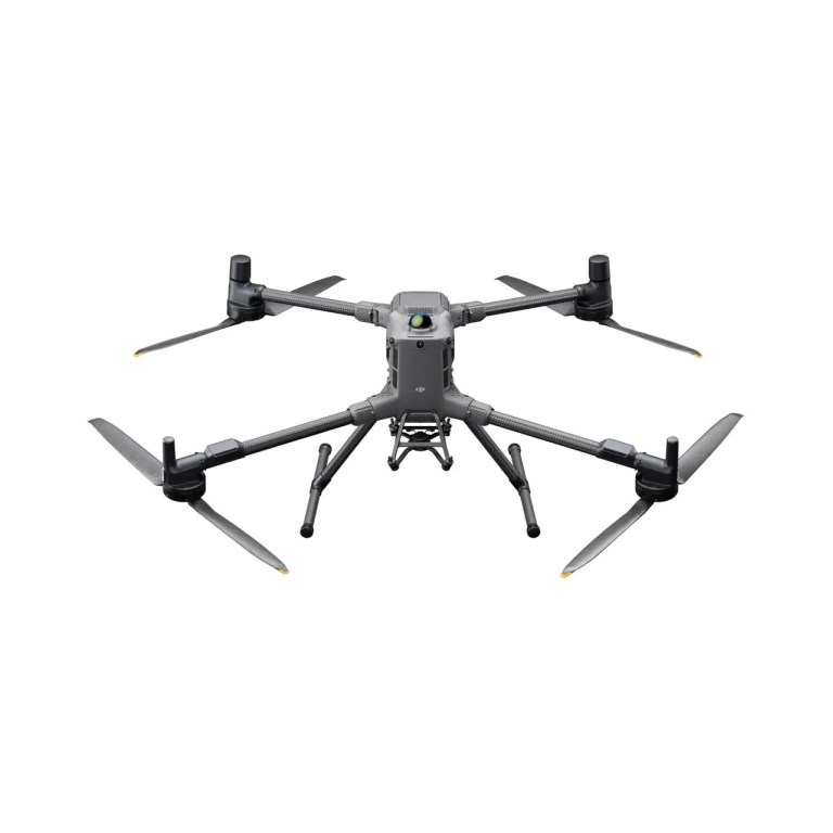
DJI Matrice 400 (M400)
DJI Matrice 400 Enterprise Drone The DJI Matrice 400 Enterprise Drone is a heavy-lift, long-endurance aerial platform designed for complex surveying, inspection, and industrial operations. Built for demanding enterprise workflows, the Matrice 400 supports advanced payloads and extended missions, making it ideal for large-scale mapping, infrastructure inspection, and asset monitoring applications. Key Features Heavy-Lift Payload Capability Designed to support a wide range of enterprise payloads, including high-resolution cameras, LiDAR, and inspection sensors for advanced data capture. Long-Endurance Performance Optimized for extended flight times and large-area coverage, enabling efficient surveying and inspection across expansive or remote sites. Precision & Automation Supports intelligent flight modes and automated mission planning for repeatable, high-accuracy data collection in complex environments. Rugged Enterprise Design Engineered for demanding industrial conditions, delivering reliable performance for critical infrastructure and field operations. Ideal For Surveyors, inspection professionals, and enterprise operators requiring a heavy-lift, long-endurance drone platform for large-scale mapping, utilities inspection, mining, energy, transportation infrastructure, and industrial asset monitoring.
Description
DJI Matrice 400 Enterprise Drone
The DJI Matrice 400 Enterprise Drone is a heavy-lift, long-endurance aerial platform designed for complex surveying, inspection, and industrial operations. Built for demanding enterprise workflows, the Matrice 400 supports advanced payloads and extended missions, making it ideal for large-scale mapping, infrastructure inspection, and asset monitoring applications.
Key Features
- Heavy-Lift Payload Capability
Designed to support a wide range of enterprise payloads, including high-resolution cameras, LiDAR, and inspection sensors for advanced data capture. - Long-Endurance Performance
Optimized for extended flight times and large-area coverage, enabling efficient surveying and inspection across expansive or remote sites. - Precision & Automation
Supports intelligent flight modes and automated mission planning for repeatable, high-accuracy data collection in complex environments. - Rugged Enterprise Design
Engineered for demanding industrial conditions, delivering reliable performance for critical infrastructure and field operations.
Ideal For
Surveyors, inspection professionals, and enterprise operators requiring a heavy-lift, long-endurance drone platform for large-scale mapping, utilities inspection, mining, energy, transportation infrastructure, and industrial asset monitoring.
Documents
Specifications
- BrandDJI Enterprise
- Product TypeDrone
- Drone TypeMulti-rotor
- Flight Speed25 m/s
- Infrared Thermal Camera Built InN/A
- IP RatingIP55
- Maximum Flight59 minutes - Maximum coverage in one flight: 550 ha (1360 ac) at 2.7 cm GSD
- NIR Auxiliary Light Built InN/A
- Operating Temperature-20°C to 50°C (-4°F to 122° F)
- Payload Capacity6 kg
- RTK CapabilityRTK Onboard
- RTK Positioning Accuracy1 cm + 1 ppm (Horizontal), 1.5 cm + 1 ppm (Vertical)
- Warranty1 year