
WingtraRAY MAP61 Payload
WingtraRAY MAP61 Payload
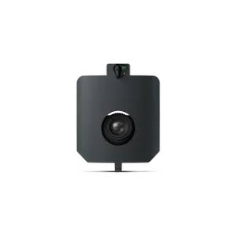
Description
WingtraRAY MAP61 Payload
The WingtraRAY MAP61 is Wingtra’s most advanced mapping camera, engineered for high-efficiency, high-resolution 2D mapping and dense 3D model capture across large areas. Featuring a 61 MP full-frame oblique RGB sensor with a wide 93° field of view and optimized oblique angles, it delivers exceptional coverage per flight while reducing overlap requirements — meaning fewer flights, faster processing, and reliable deliverables.
MAP61 is designed for professionals handling large-scale topographic surveys, open-pit volumetrics, corridor mapping, and complex terrain modeling. Its oblique configuration enhances 3D reconstruction quality, capturing vertical features with clarity while maintaining survey-grade accuracy when processed with PPK workflows.
Key Features
-
61 MP full-frame oblique RGB sensor for expansive coverage
-
Optimized oblique angles for superior 3D reconstruction
-
Wide field of view reduces image count and processing time
-
Survey-grade data outputs with PPK accuracy (~3 cm RMS)
-
Integrated into WingtraPilot & WingtraCLOUD workflows
Ideal For
Large-area mapping, mining and metals surveys, construction and infrastructure progress modeling, land management, and any project requiring efficient, high-resolution 2D/3D mapping.
Documents
Specifications
- BrandWingtra
- Product TypeDrone Payload
- Absolute Accuracy (RMS x, y, z) with PPK3 cm
- Lowest Possible GSD1.2 cm/px at 54 m altitude
- Maximum Coverage at 120 m550 ha
- Payload TypePhotogrammetry
- Sensor61 MP - Full-frame sensor, wide-angle lens (17 mm), low oblique configuration
- Weight585 g