
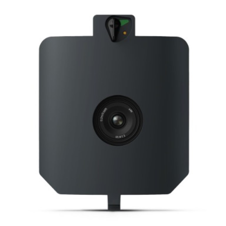
WingtraRAY SURVEY24 Payload
WingtraRAY SURVEY24 Payload
Description
WingtraRAY SURVEY24 Payload
The WingtraRAY SURVEY24 is a professional photogrammetry payload offering a 24 MP APS-C nadir sensor with a low-distortion lens — providing a compelling balance of resolution, coverage, and cost effectiveness for general mapping and topographic tasks.
Designed for teams that need dependable aerial mapping without the highest resolution demands, SURVEY24 delivers robust orthomosaic and DEM outputs with strong consistency across broad coverage. It’s well suited for site documentation, stockpile measurements, land assessment, and routine survey tasks, all supported by PPK positioning for reliable absolute accuracy.
Key Features
- 24 MP APS-C nadir sensor with low-distortion lens
- Reliable photogrammetry for general mapping
- Designed for large coverage missions
- Compatible with WingtraPilot mission planning and data workflows
- PPK for survey-grade geolocation
Ideal For
Surveying, construction, and engineering teams seeking cost-effective, dependable aerial mapping with broad coverage and reliable data quality for day-to-day site documentation and planning.
Documents
Specifications
- BrandWingtra
- Product TypeDrone Payload
- Absolute Accuracy (RMS x, y, z) with PPK3 cm
- Lowest Possible GSD1.2 cm/px at 61 m altitude
- Maximum Coverage at 120 m330 ha
- Payload TypePhotogrammetry
- Sensor24 MP - APS-C sensor, low-distortion lens (20 mm), nadir configuration